MOUNT SHASTA (California, USA) Avalanche Gulch Route. 4317 m. ( 14 179 ft.)
May 1-2, 2013 (solo ascent)
JAYTEKDESIGN |
back to MOUNTAINEERING |
|
MOUNT SHASTA (California, USA) Avalanche Gulch Route. 4317 m. ( 14 179 ft.) May 1-2, 2013 (solo ascent) |
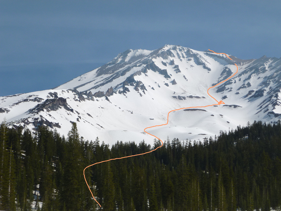
Mount Shasta. Avalanche Gulch Route. Climbed in two days. 
Mount Shasta. View from Bunny Flat trail. 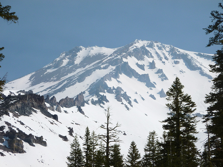
Mount Shasta. View from the approach. 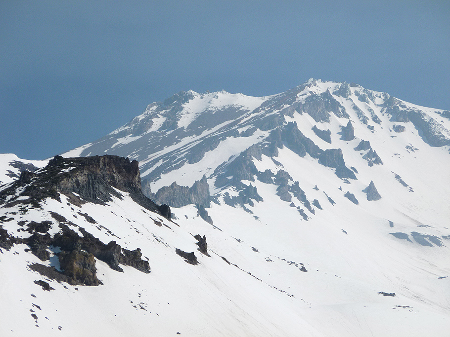
Mount Shasta. View of Casaval Ridge from the approach. 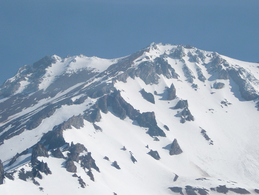
Mount Shasta. Top portion of Casaval Ridge. 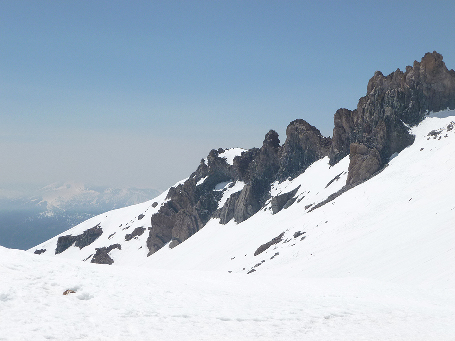
Mount Shasta. Rock towers of Casaval Ridge. 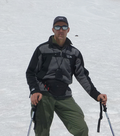
Mount Shasta. At Helen Lake plateau. 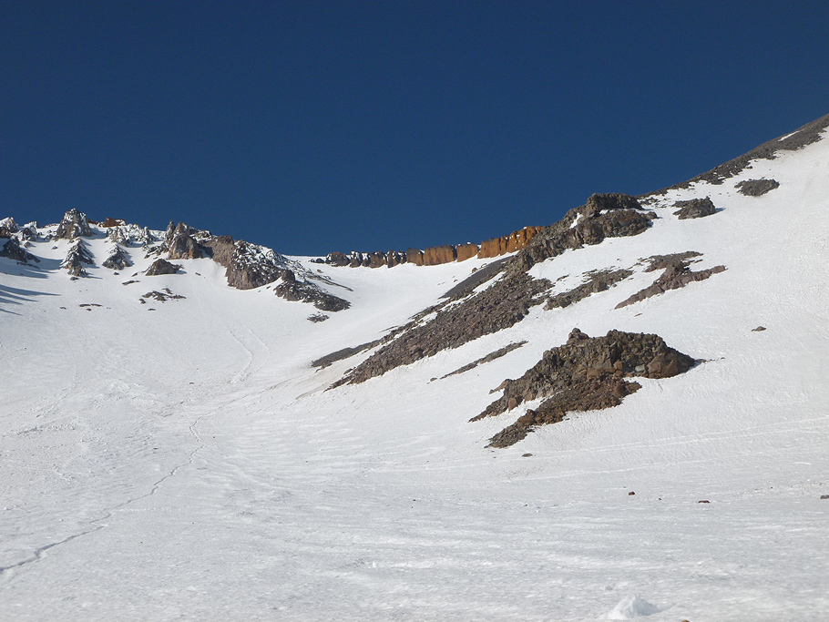
Mount Shasta. The Red Banks at top portion of Avalanche Gulch. 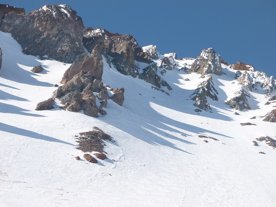
Mount Shasta. Rock formations at Casaval Ridge. 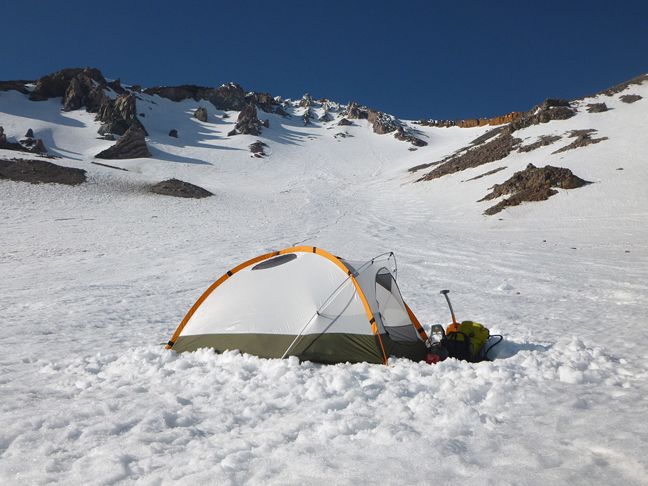
Mount Shasta. My tent set just beyond Helen Lake plateau. 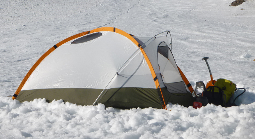
Mount Shasta. My tent. 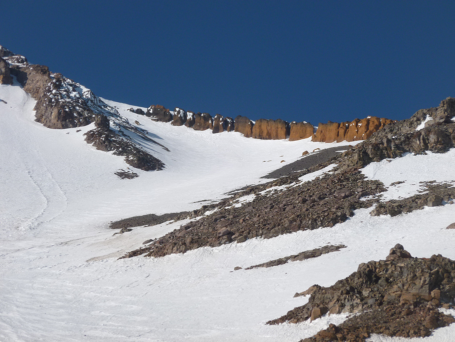
Mount Shasta. The Red Banks at top portion of Avalanche Gulch. 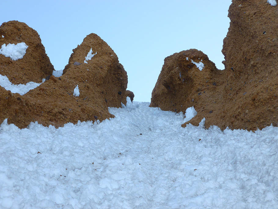
Mount Shasta. One of steep Red Bank couloirs. 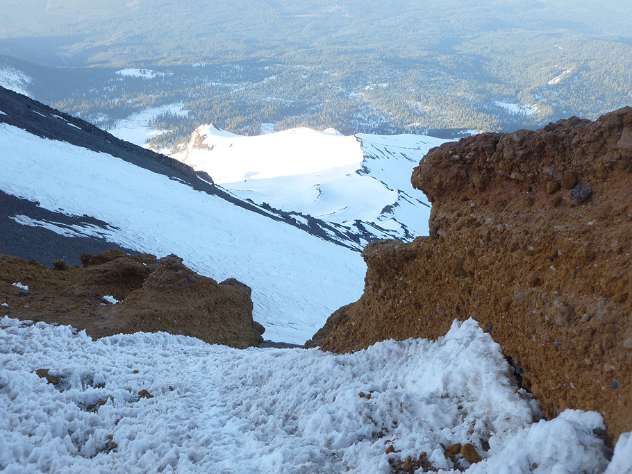
Mount Shasta. Coming out of the couloir. 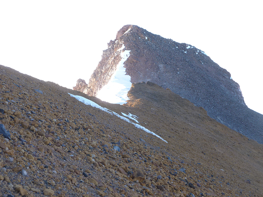
Mount Shasta. The Thumb Rock. 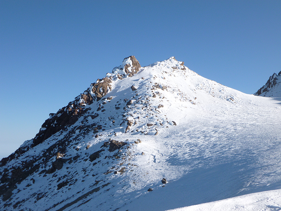
Mount Shasta. Beyond the Red Bank couloirs. 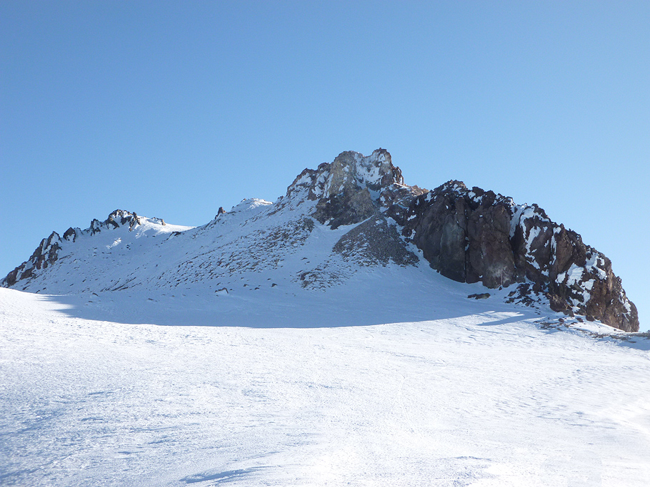
Mount Shasta. The summit plateau. 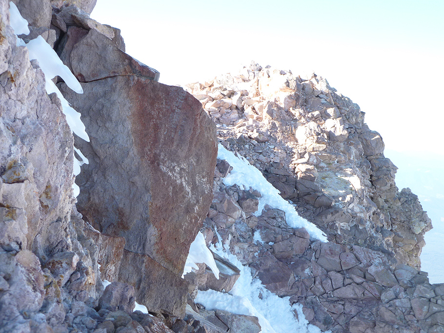
Mount Shasta. Rocks of the summit pinnacle. 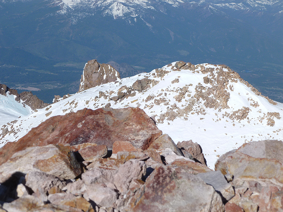
Mount Shasta. View from the summit. 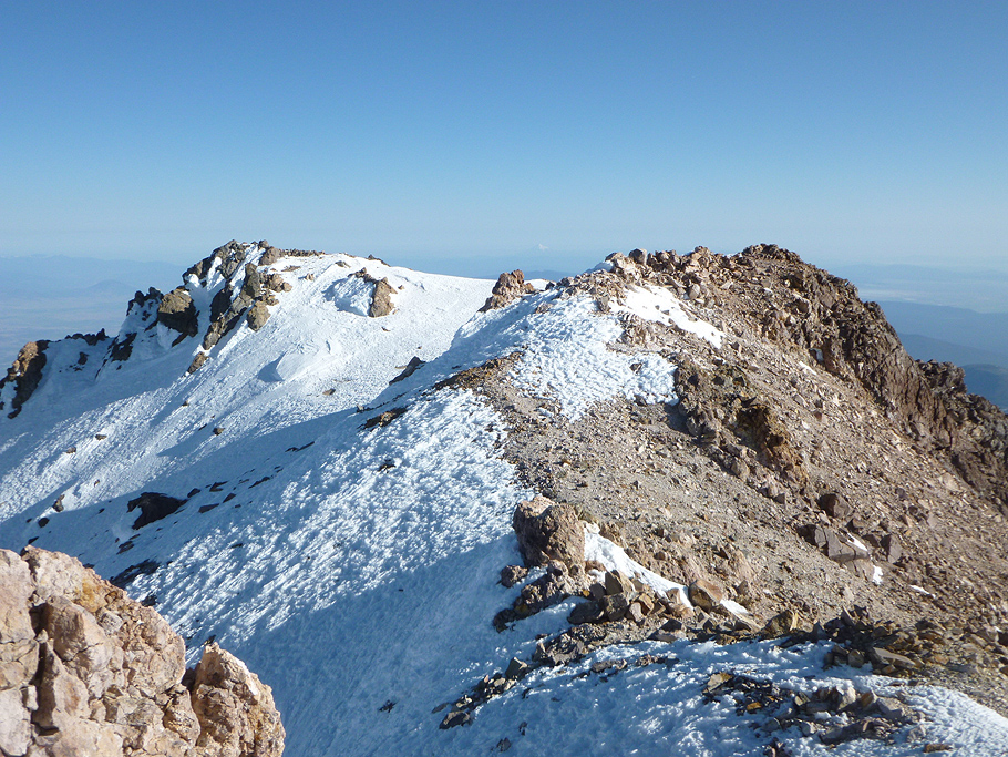
Mount Shasta. View from the summit. 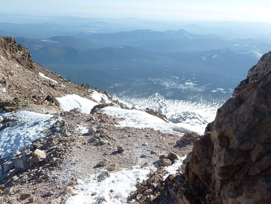
Mount Shasta. View from the summit. 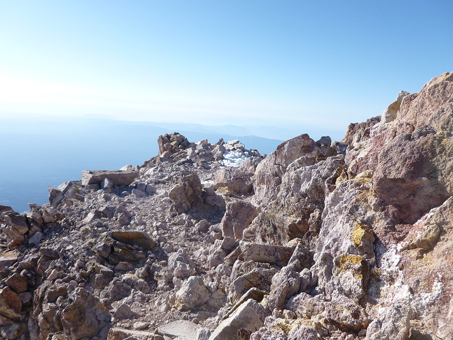
Mount Shasta, the summit. 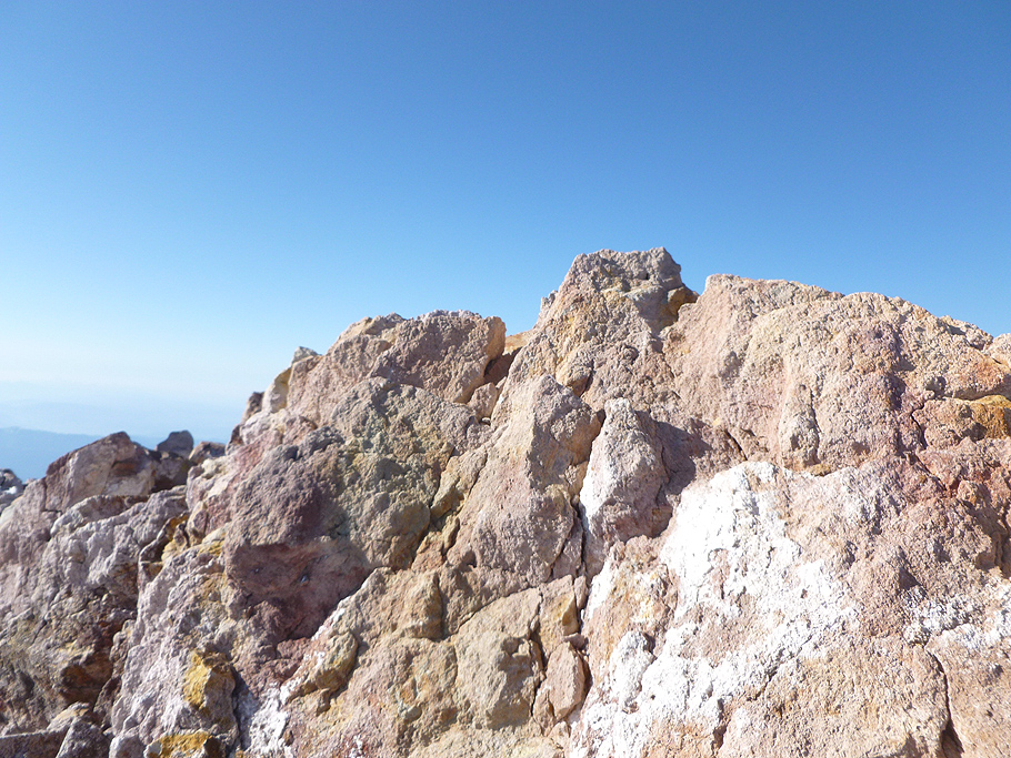
Mount Shasta, the summit. 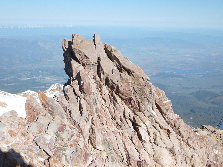
Mount Shasta, the summit. 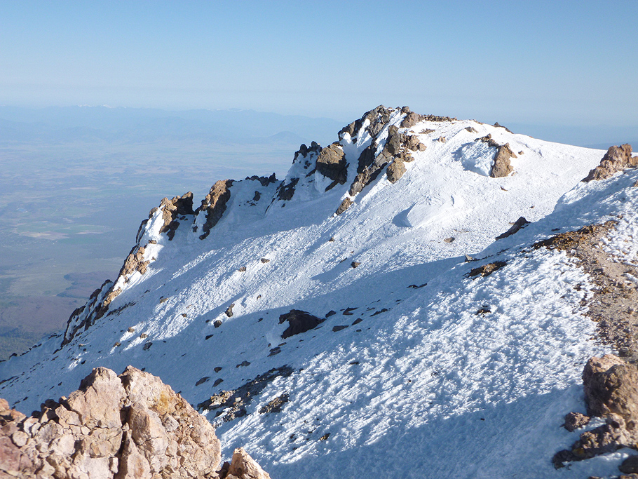
Mount Shasta. View from the summit. 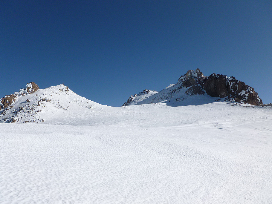
Mount Shasta. The summit plateau. 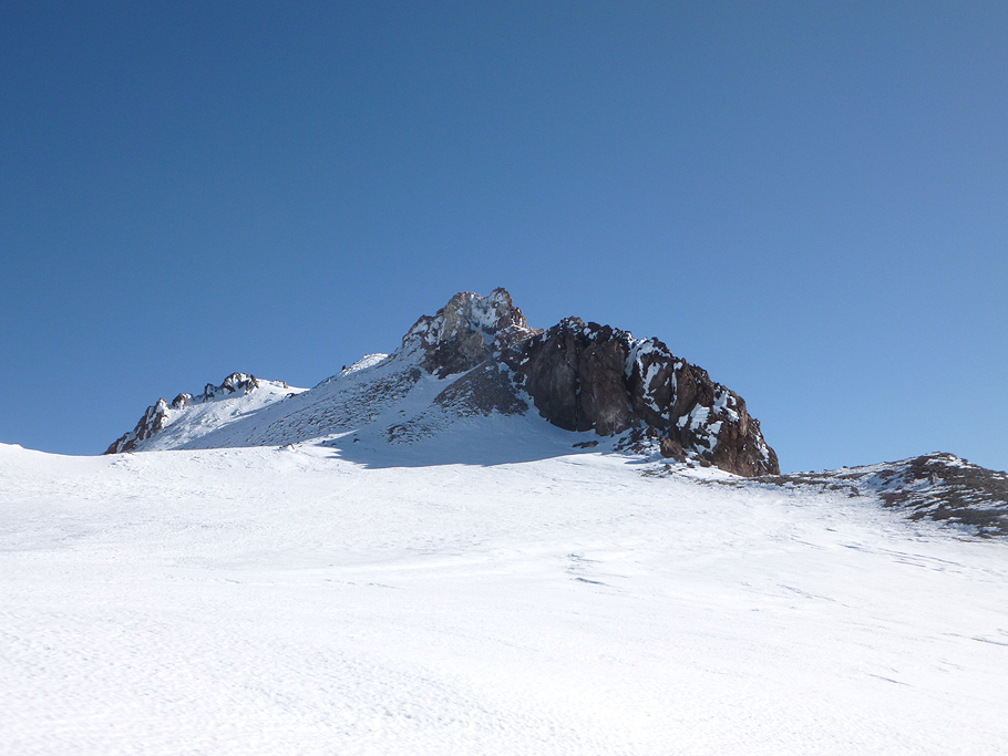
Mount Shasta. The summit plateau. 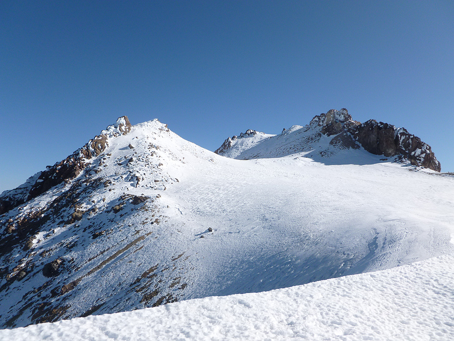
Mount Shasta. Leaving the summit plateau. 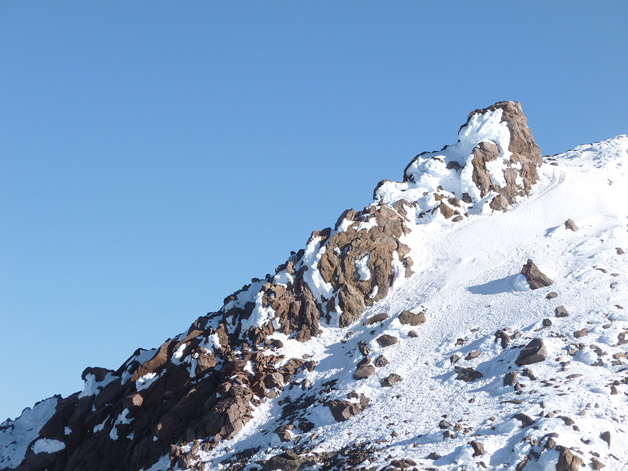
Mount Shasta. Rock formations. 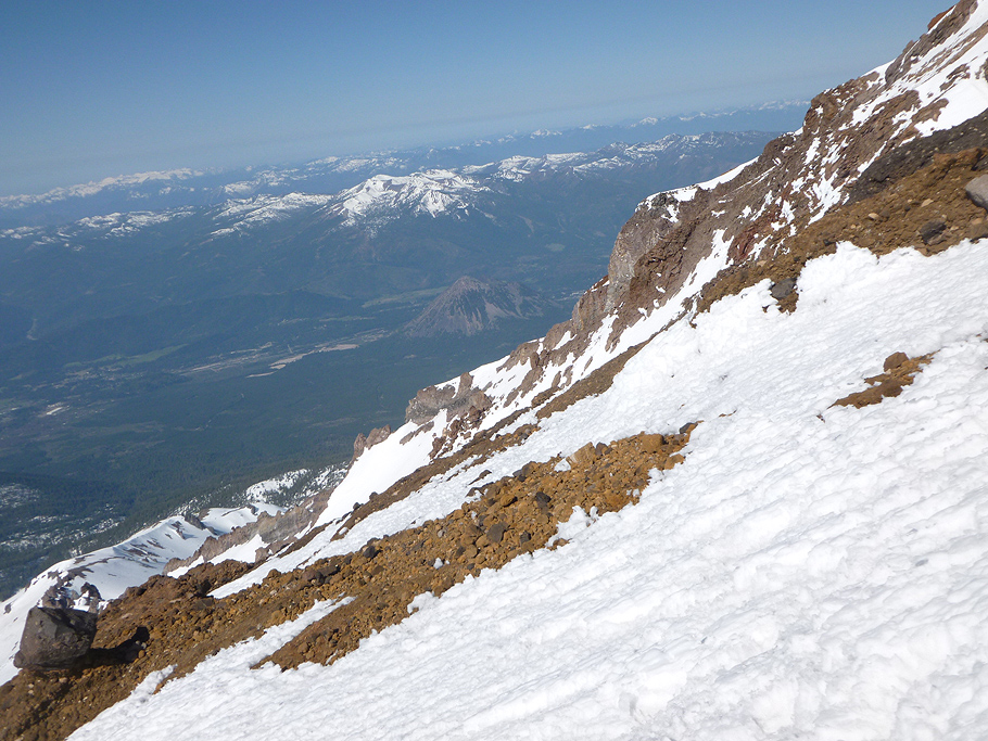
Mount Shasta. Descending via the same route. 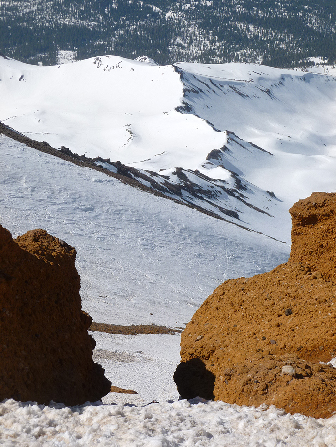
Mount Shasta. Descending via the Red Banks. 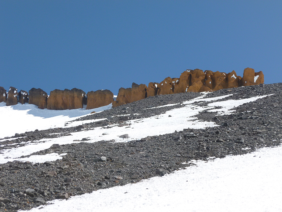
Mount Shasta. The Red Banks. 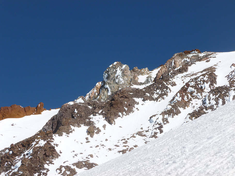
Mount Shasta. Descending via Avalanche Gulch. 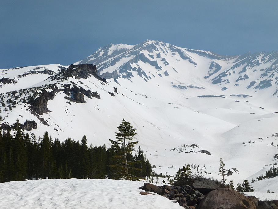
Mount Shasta. Back to Bunny Flat trail. 
Great two days on the mountain! |
TOP |
back to MOUNTAINEERING |