MOUNT SHASTA (California, USA) West Face Route. 4317 m. ( 14 179 ft.)
June 8-9, 2014 (solo ascent)
JAYTEKDESIGN |
back to MOUNTAINEERING |
|
MOUNT SHASTA (California, USA) West Face Route. 4317 m. ( 14 179 ft.) June 8-9, 2014 (solo ascent) |

Mount Shasta. West Face Route. Climbed in two days. 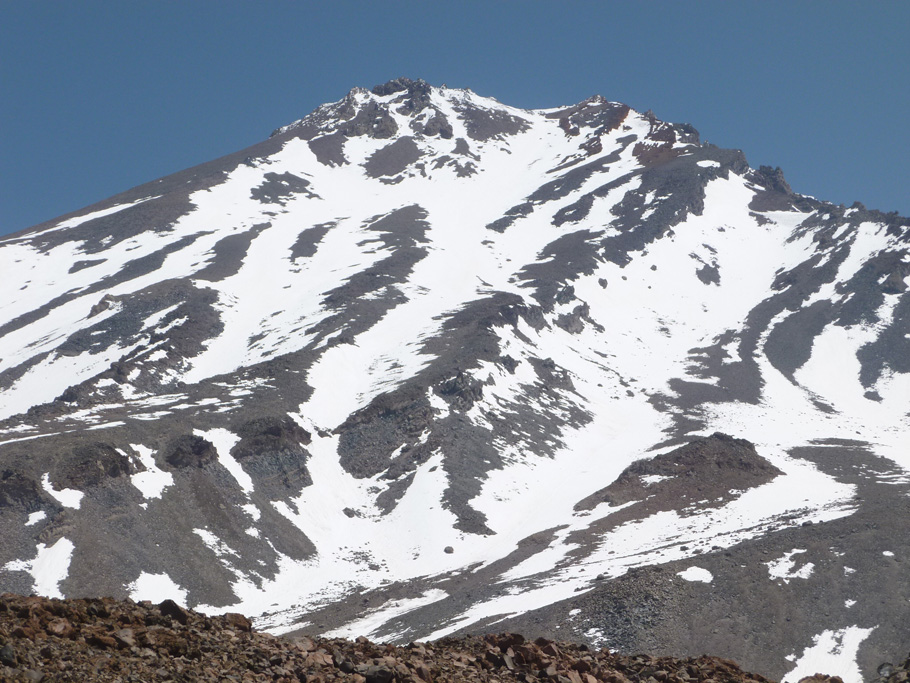
Mount Shasta. West Face Route. 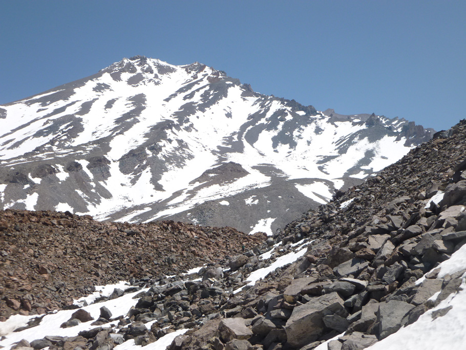
Mount Shasta. Approaching Hidden Valley. 
Mount Shasta. High camping at Hidden Valley. 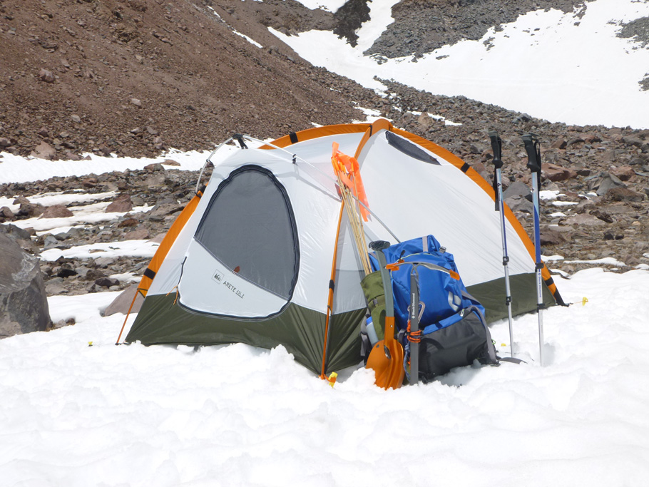
Mount Shasta. High camping at Hidden Valley. 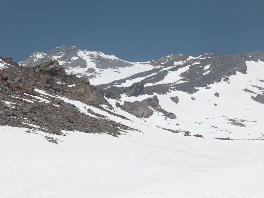
Mount Shasta. West Face Route. 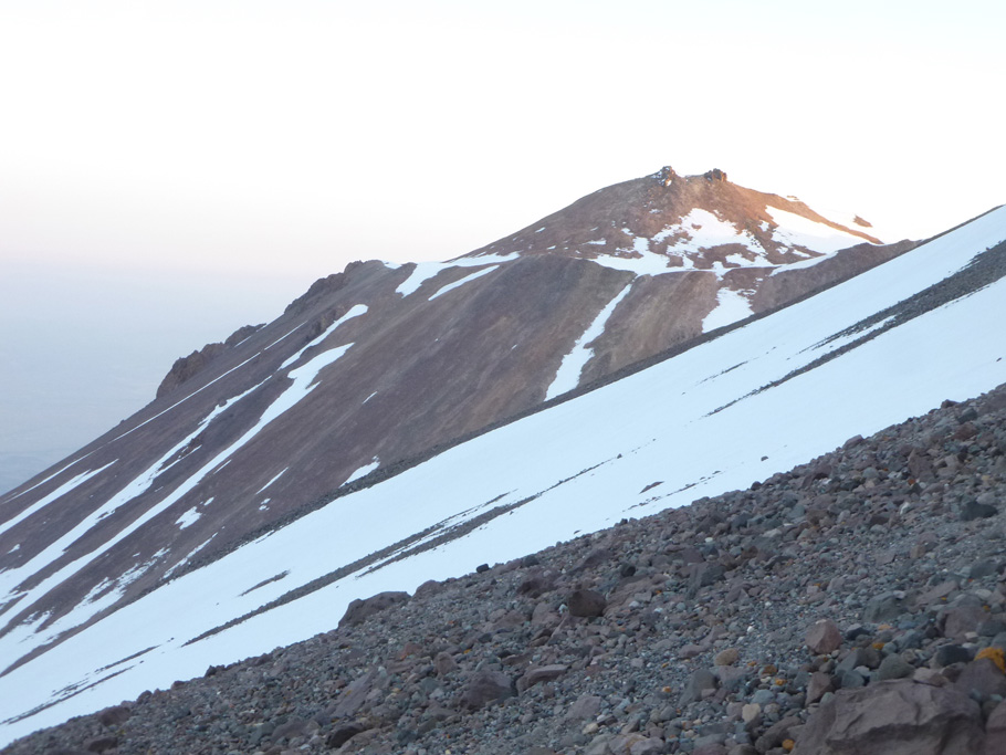
Mount Shasta. Shastina from West Face. 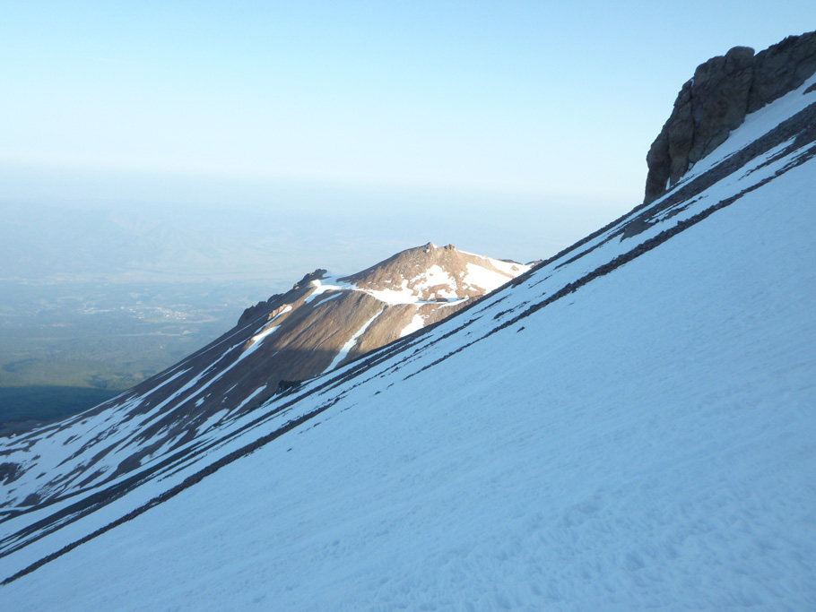
Mount Shasta. Shastina from West Face. 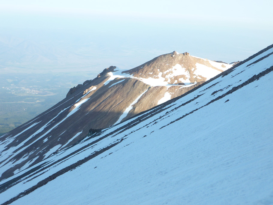
Mount Shasta. Shastina from West Face. 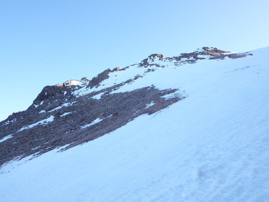
Mount Shasta. The top of West Face. 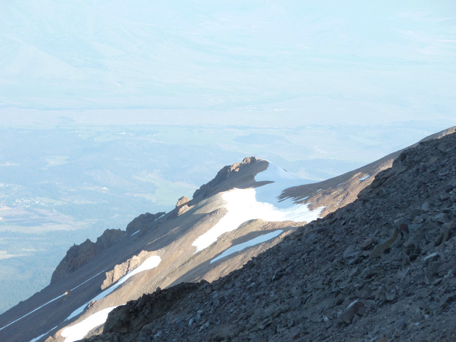
Mount Shasta. Shastina from the top of West Face. 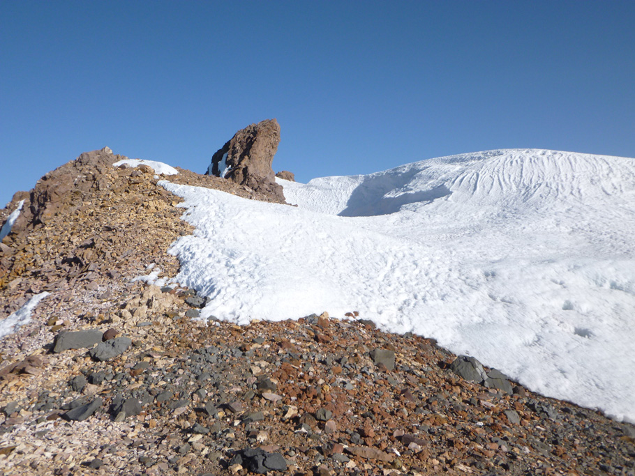
Mount Shasta. Rocks at the top of West Face. 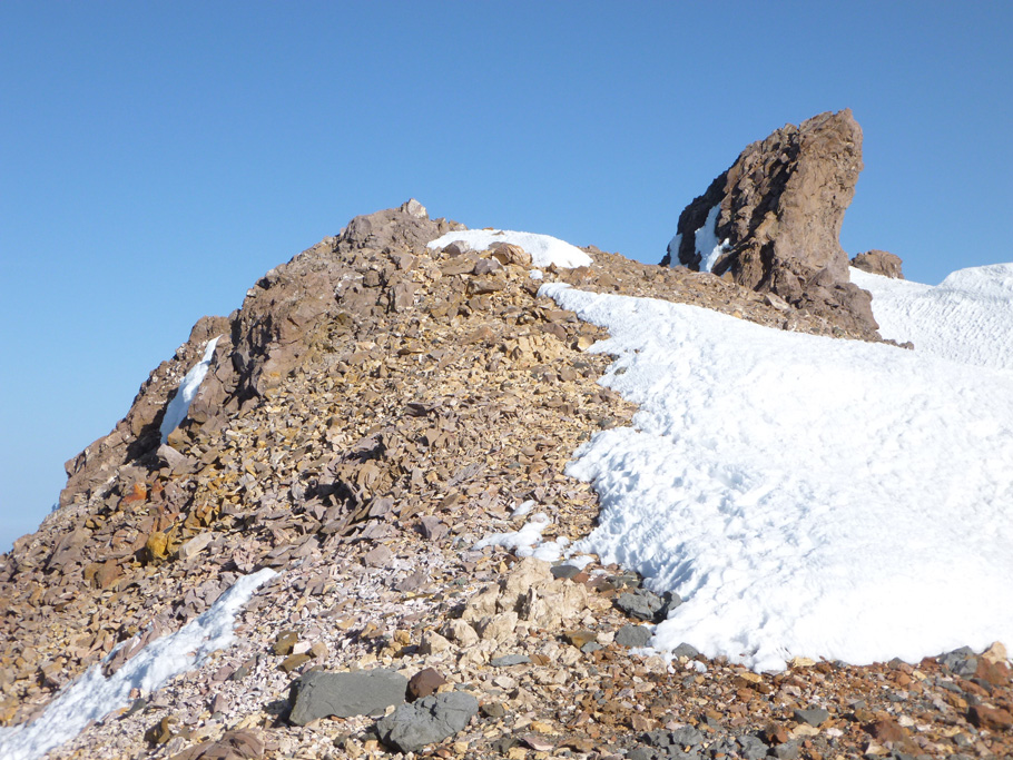
Mount Shasta. Rocks at the top of West Face. 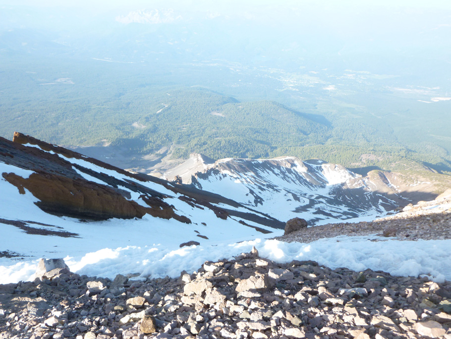
Mount Shasta. Looking down from the top of West Face. 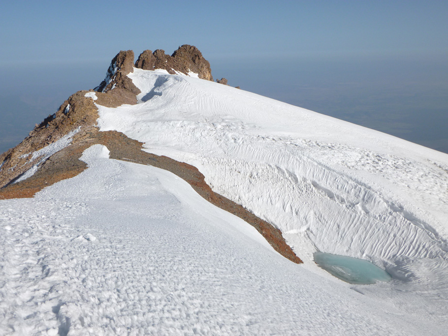
Mount Shasta. Upper Whitney Glacier. 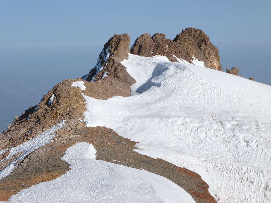
Mount Shasta. Upper Whitney Glacier. 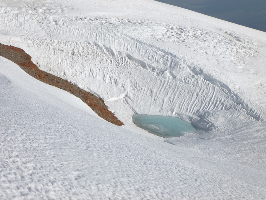
Mount Shasta. Upper Whitney Glacier. 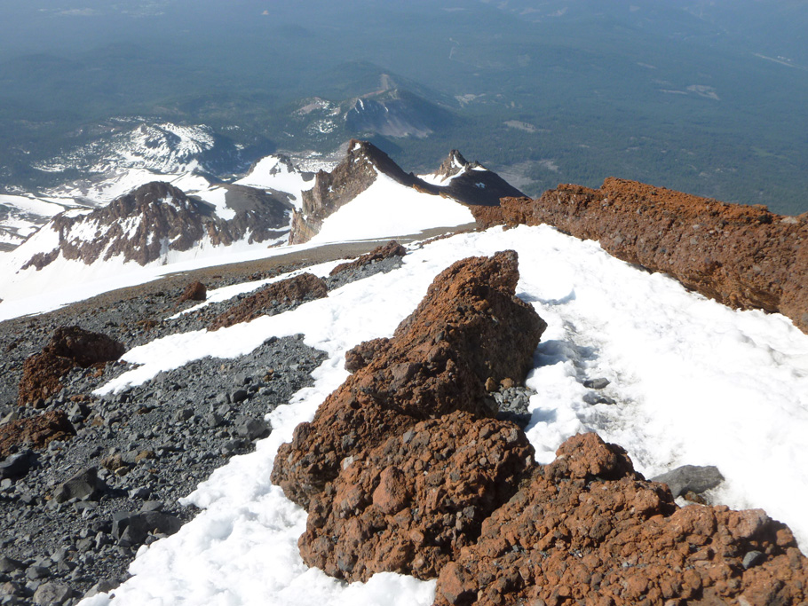
Mount Shasta. At the top of Misery Hill. 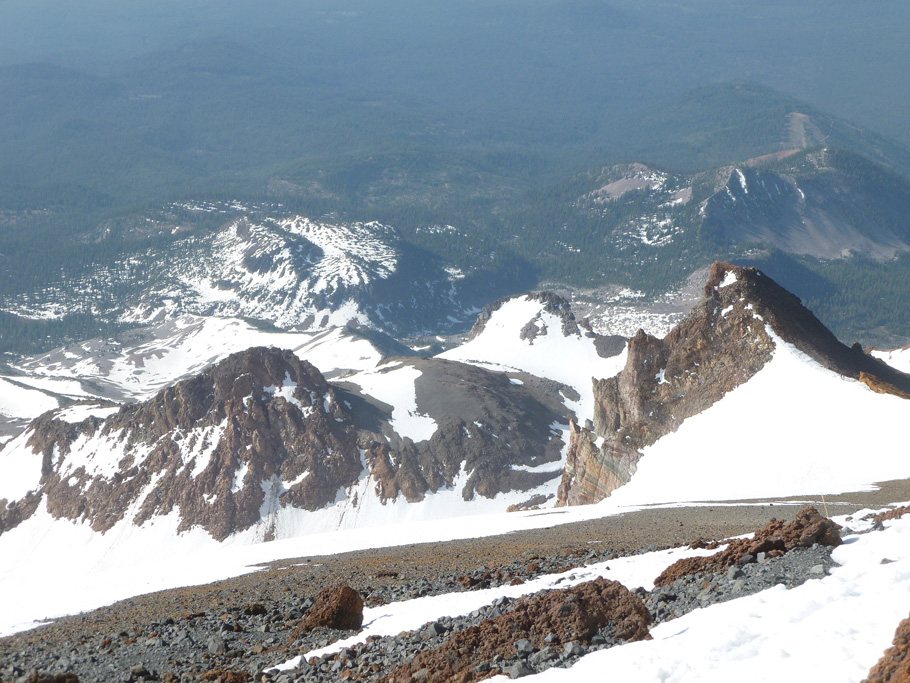
Mount Shasta. At the top of Misery Hill. 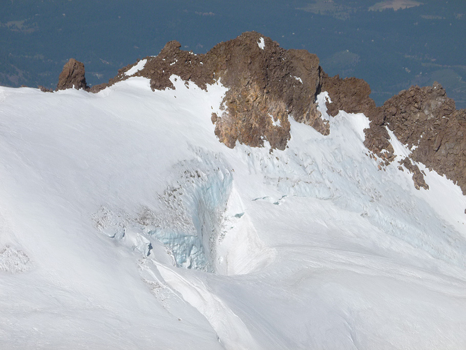
Mount Shasta. Upper Whitney Glacier. 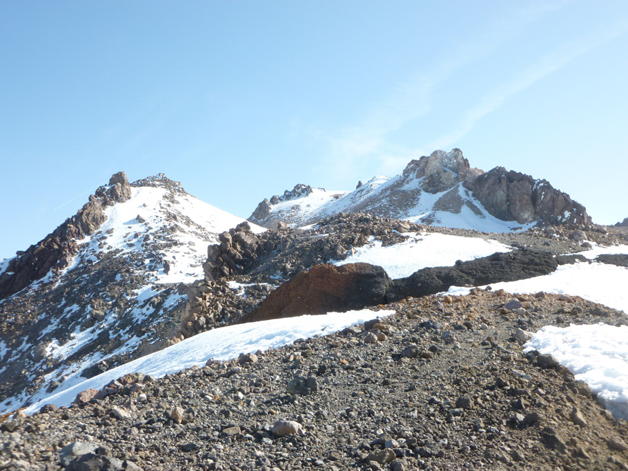
Mount Shasta. Summit plateau. 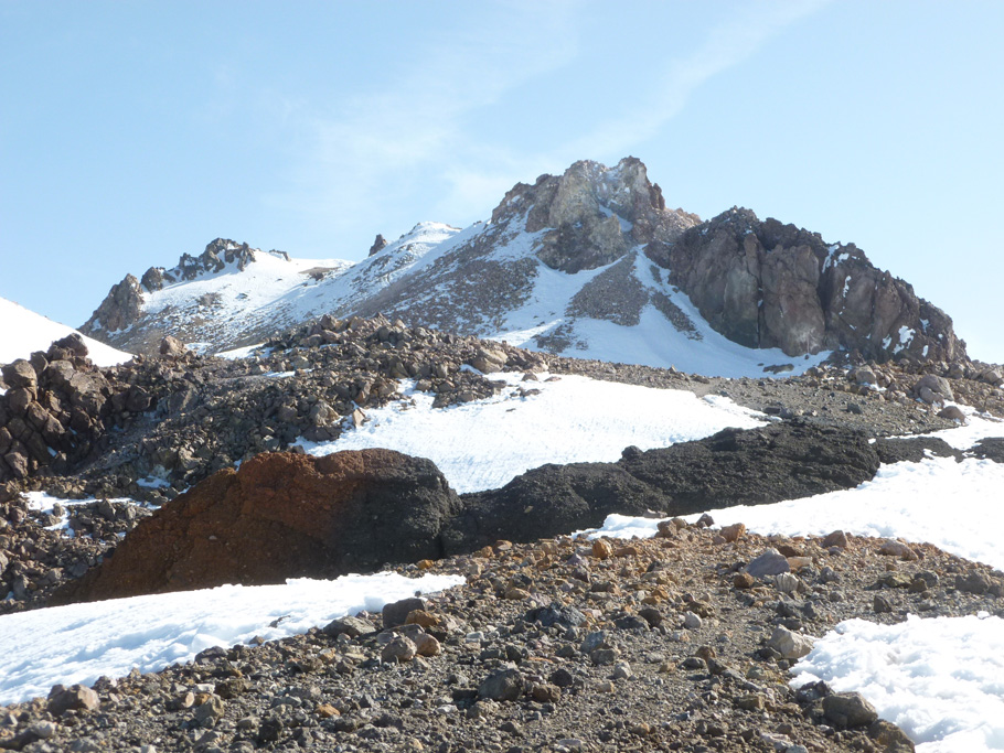
Mount Shasta. Summit plateau. 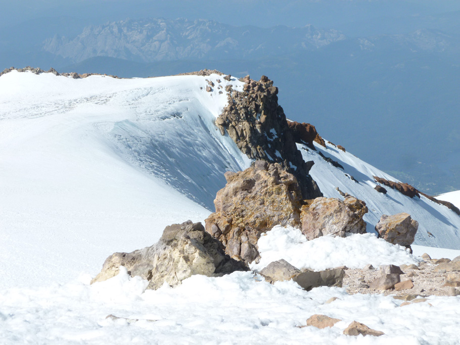
Mount Shasta. Rocks and snow at the summit plateau. 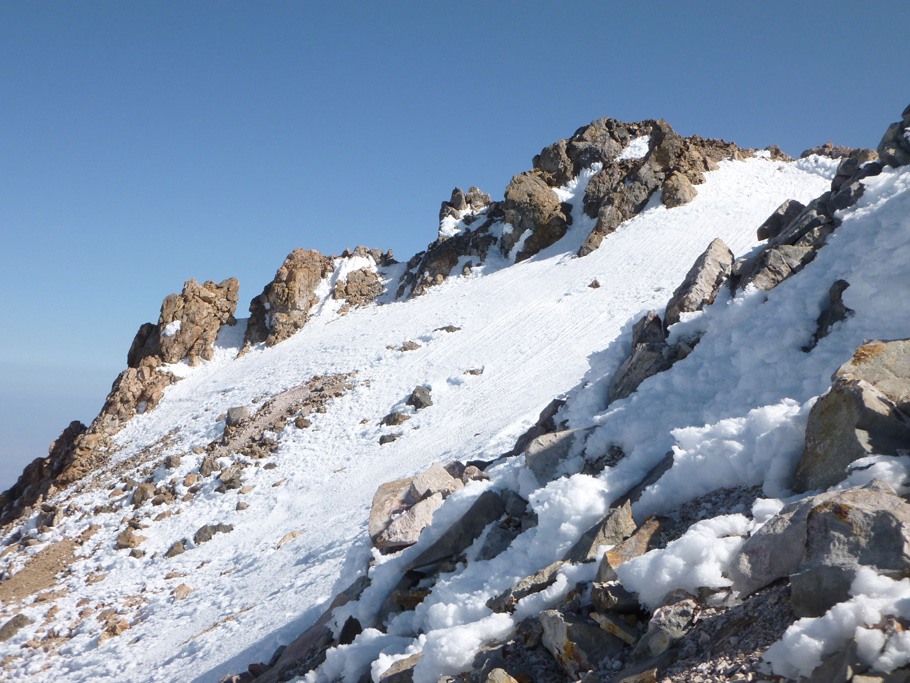
Mount Shasta. Rocks and snow at the summit plateau. 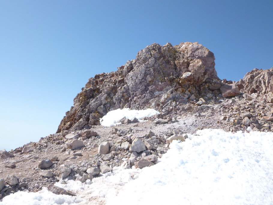
Mount Shasta. Approaching the summit. 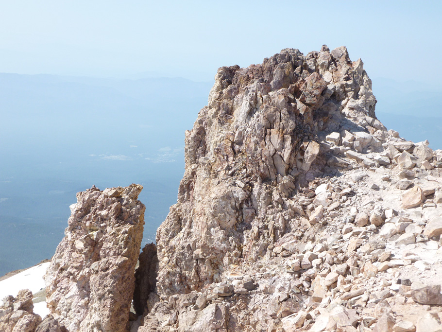
The summit of Mount Shasta (14 179 ft. / 4317 m). 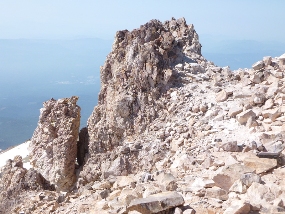
The summit of Mount Shasta (14 179 ft. / 4317 m). 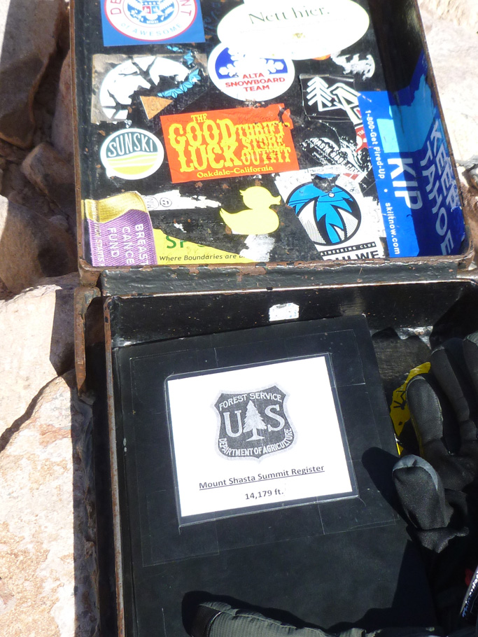
Mount Shasta. Summit register 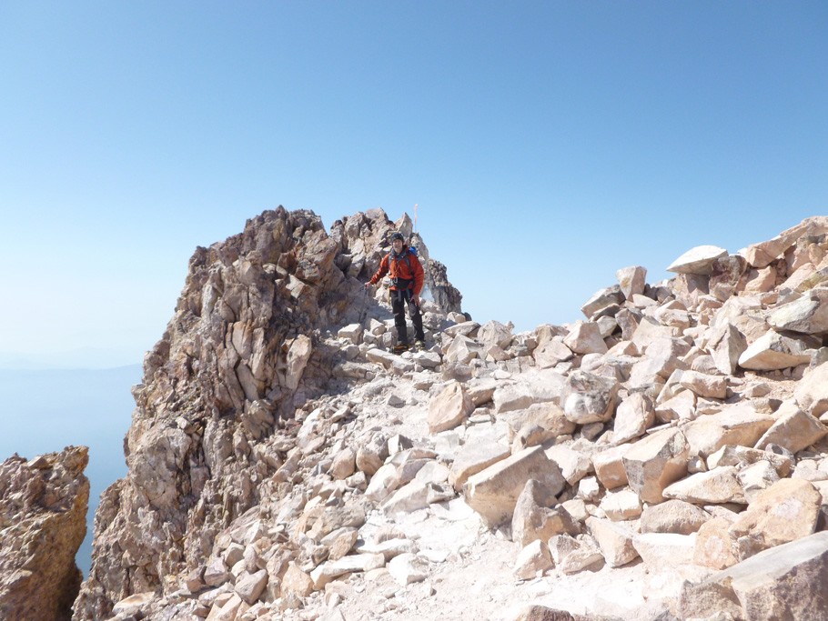
The summit of Mount Shasta, June 9, 2014. 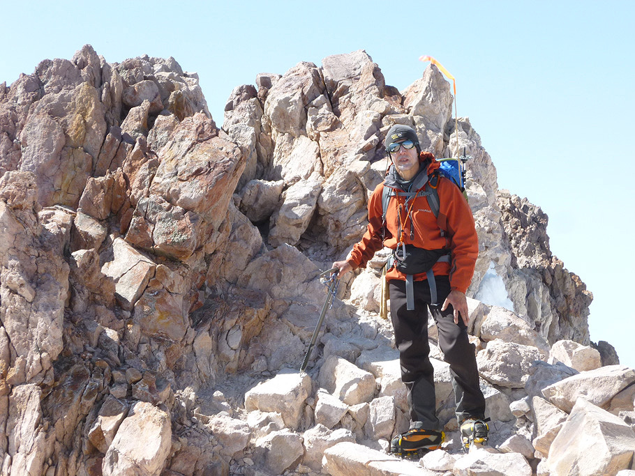
Mount Shasta, June 9, 2014. 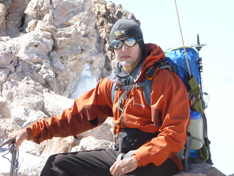
Mount Shasta. 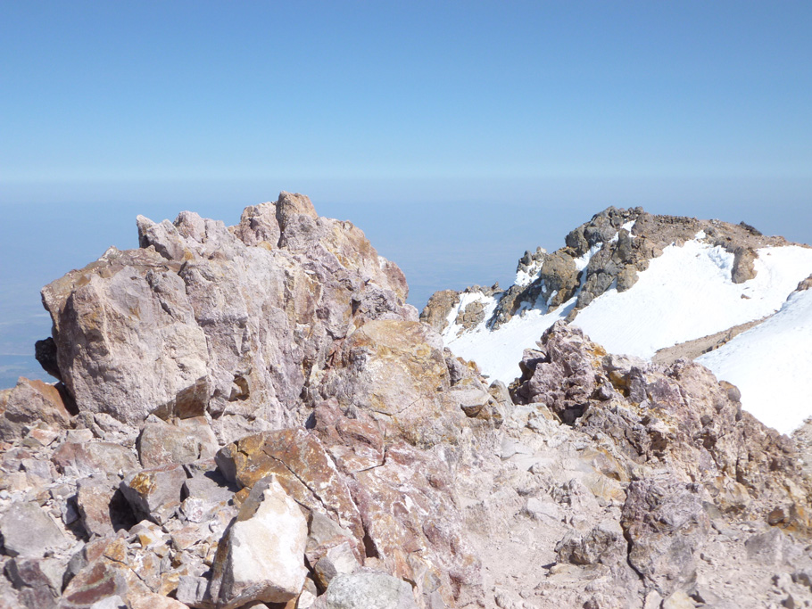
Mount Shasta. Red rocks at the top. 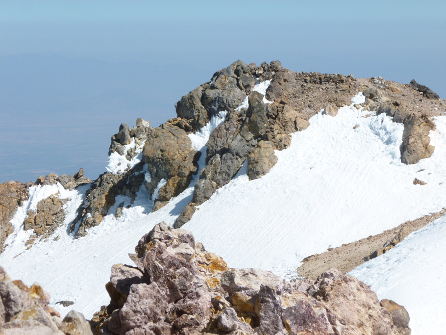
Mount Shasta. Rocks and snow at the summit plateau. 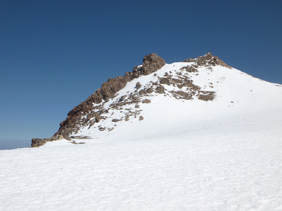
Mount Shasta. Rocks and snow at the summit plateau. 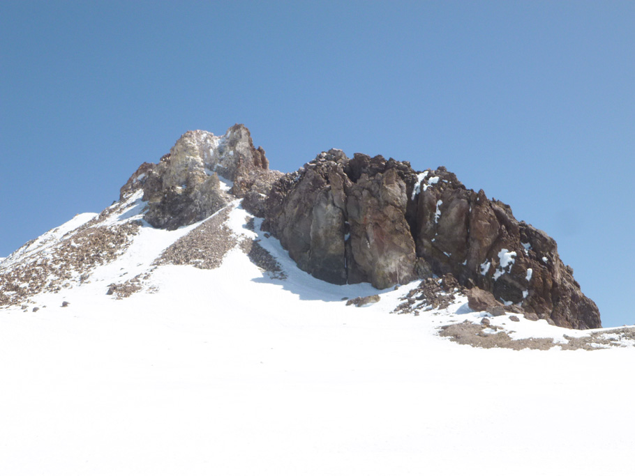
Mount Shasta. Rocks and snow at the summit plateau. 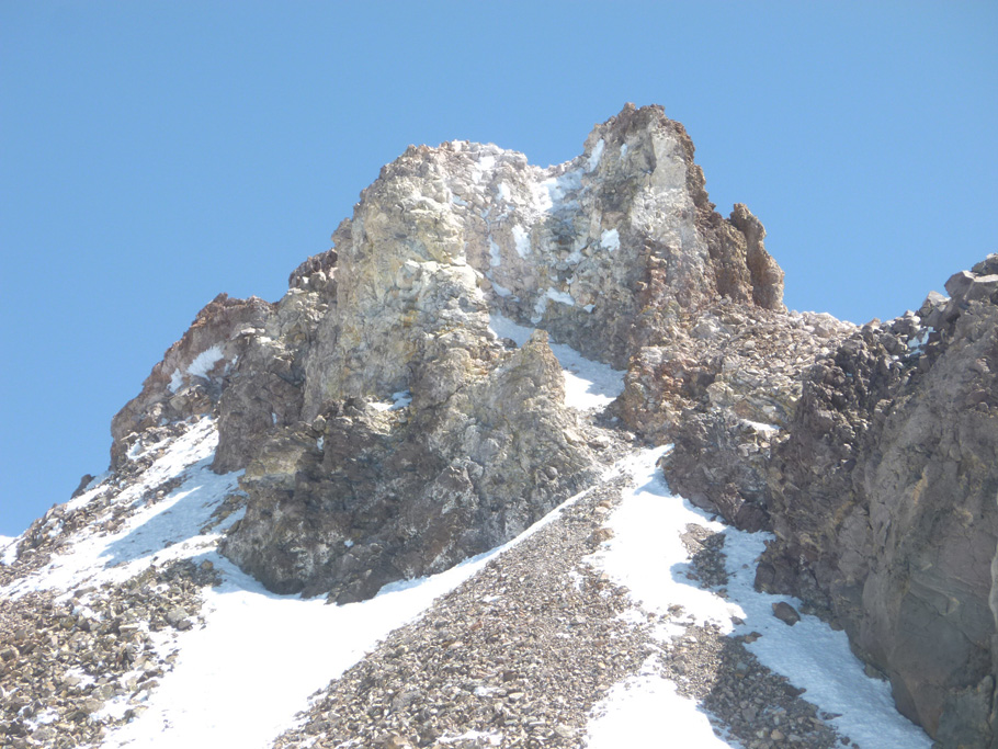
Mount Shasta. The summit block. 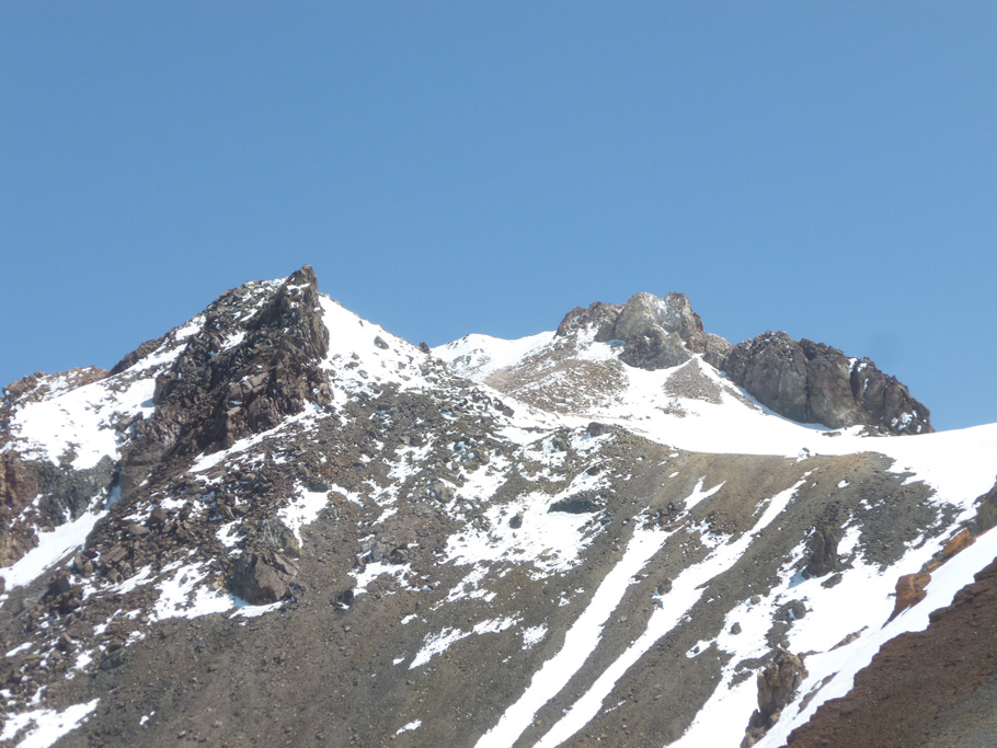
Mount Shasta. Summit plateau. 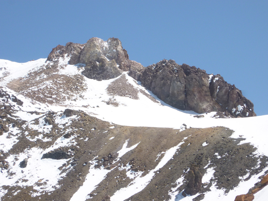
Mount Shasta. Summit plateau. |
TOP |
back to MOUNTAINEERING |